


De La farlède vers le sommet du Mont Coudon, puis retour par le petit Coudon

FSantoni
User
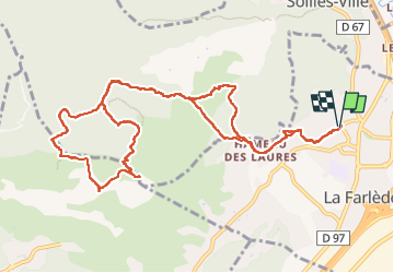

Length
14.1 km

Max alt
657 m

Uphill gradient
599 m
Km-Effort
22 km

Min alt
90 m

Downhill gradient
600 m
Boucle
Yes
Creation date :
2024-09-21 05:55:06.619
Updated on :
2024-09-21 15:56:31.371
6h55
Difficulty : Very difficult

FREE GPS app for hiking
 SityTrail
IGN / Geographical institutes
SityTrail Plus
The world is yours!
About
Trail Walking of 14.1 km to be discovered at Provence-Alpes-Côte d'Azur, Var, La Farlède. This trail is proposed by FSantoni.
Description
Une rando classique mais toujours aussi belle, par les paysages traversés et les panoramas offerts.
Excellent pour une reprise, avec cependant quelques portions bien pentues.
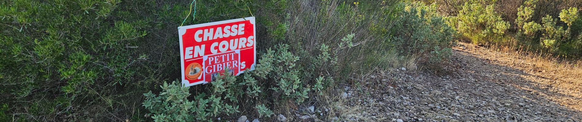
Photos


Positioning
Country:
France
Region :
Provence-Alpes-Côte d'Azur
Department/Province :
Var
Municipality :
La Farlède
Location:
Unknown
Start:(Dec)
Start:(UTM)
259359 ; 4783707 (32T) N.
Comments